
File:Northumberland UK location map.svg

此 SVG 檔案的 PNG 預覽的大小:499 × 599 像素。 其他解析度:200 × 240 像素 | 400 × 480 像素 | 639 × 768 像素 | 853 × 1,024 像素 | 1,705 × 2,048 像素 | 1,120 × 1,345 像素。
原始檔案 (SVG 檔案,表面大小:1,120 × 1,345 像素,檔案大小:1.68 MB)
| 描述 |
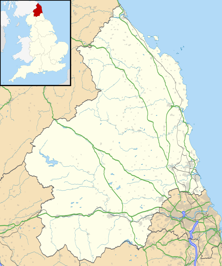
Map of Northumberland, UK with the following information shown:
Equirectangular map projection on WGS 84 datum, with N/S stretched 170% Geographic limits:
|
| 日期 | |
| 來源 |
|
| 作者 | Nilfanion, created using Ordnance Survey data |
| 授權許可 (重用此檔案) |
此檔案採用共享創意 姓名標示-相同方式分享 3.0 未在地化版本授權條款。 姓名標示: Contains Ordnance Survey data © Crown copyright and database right
|
| 其他版本 | File:Northumberland UK district map (blank).svg - Blank map |
.svg)
檔案歷史
點選日期/時間以檢視該時間的檔案版本。
| 日期/時間 | 縮圖 | 尺寸 | 用戶 | 備註 | |
|---|---|---|---|---|---|
| 目前 | 2010年9月26日 (日) 19:08 | | 1,120 × 1,345(1.68 MB) | Nilfanion | {{Information |Description=Map of Northumberland, UK with the following information shown: *Administrative borders *Coastline, lakes and rivers *Roads and railways *Urban areas Equirectangular map projection on WGS 84 datum, with N/S |
檔案用途
下列8個頁面有用到此檔案:
全域檔案使用狀況
以下其他 wiki 使用了這個檔案:
- ar.wikipedia.org 的使用狀況
- bg.wikipedia.org 的使用狀況
- ceb.wikipedia.org 的使用狀況
- de.wikipedia.org 的使用狀況
- en.wikipedia.org 的使用狀況
- Churnsike Lodge
- Lindisfarne
- Bamburgh
- Berwick-upon-Tweed
- Dunstanburgh Castle
- Craster
- Embleton, Northumberland
- Alnwick
- Alnwick Castle
- Edlingham Castle
- Seahouses
- Farne Islands
- Belford, Northumberland
- Branxton, Northumberland
- Beal, Northumberland
- Prudhoe
- Corbridge
- Hexham
- Bedlington
- Rothbury
- Wooler
- Amble
- Morpeth, Northumberland
- Ancroft
- Islandshire
- Blyth, Northumberland
- Coquet Island
- Cramlington
- Newbiggin-by-the-Sea
- Fusiliers Museum of Northumberland
- Battle of Hedgeley Moor
- Kielder Forest
- Stakeford
- Hexhamshire
- Norham
- Warkworth, Northumberland
- Bamburgh Castle
- Howick house
- RAF Boulmer
- Morpeth railway station
- Ellington, Northumberland
- Etal Castle
- Seaton Delaval Hall
- Haltwhistle
- Sinderhope
- Allendale, Northumberland
檢視此檔案的更多全域使用狀況。